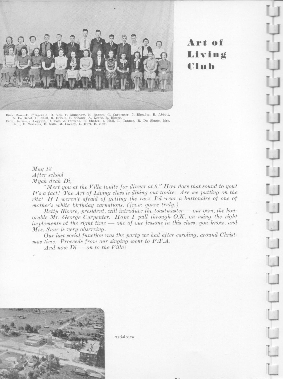
|
The aerial view in the lower left of the page shows a still largely rural flavor to the area around Godwin. Only the 1929 core of the high school building exists, as well as the library, built in 1937, and the school building on Divison Avenue, originally built in 1924, with additions to the north and south ends added subsequently. It's not clear whether Wexford, Allen ( later 36th ), and other local roads were paved yet. Note the path just above the high school building, in the vacant area across the street. Students around the world quickly find the shortest distances between two points. Paths like this were evident in many areas as late as the early 1950s. Another one went along the old "Buchanan woods," south of 34th Street, went across a creek, the Grand Rapids and Indiana track, and across a field on the west side of the tracks, eventually connection with 32nd just about where the US 131 freeway is now. In those times it was safe enough for a HS girl to walk the path alone. Notice that few house exist on Wexford, or on Allen. The houses in the upper right, to the right of Francis Avenue, were part of developments started in the 1913 to 1928 period, when the Interurban, on the west side of Division Avenue, and later the Division Avenue bus line, made travel to/from Grand Rapids practical. In 1936 the GM stamping plant located on Allen Road, and no doubt the pace of development in the area picked up some. |